Pete here, this is the second to last blog post of the trip! We’ve planned the rest of the journey and will be back home the last weekend of July. I’m writing this from a KOA just outside beautiful Asheville, North Carolina. KOAs are a bit on the pricier side ($45-$55/night), but they have full hookups, strong wifi (currently using), pull through sites (pulled through), online booking through their app (did it), laundry (which we just did), usually a pool (bathing suits drying now), and its always been full of nice people so you definitely get what you pay for (not a paid spokesman). State parks have been in the $18-$36/night range and come in all varieties from only 30A electric to 30A, water, and sewer hookups. I don’t think we’ve ever had full hookups at a state park and wifi, but I’ll verify that for the last post in the summary.
Since we have just one stop after this before home, we booked them both at KOAs for the wifi and ease of setting up the rig. We’re like a NASCAR pit crew now, from the time the wheels stop rolling until the TV channels are scanned and the ice tray is filled and sitting in the freezer (the last steps if you’re fancy like us) was about 7 minutes this time. I think we were impressed by our earlier attempts when it only took 20 minutes. Maybe there will be a day when we laugh at 7 minutes and how slow we used to be.
Anyway, since Kristen’s last post, we’ve been through a few more states. We left the state park in Kentucky and spent a few nights at a KOA in West Virginia between Huntington and Charleston. We intended to stay at a different RV park further outside of town with nearby hiking trails and some nice Hatfield-McCoy history but they never answered our 15 phone calls to make the reservation and the other nearby RV park was booked solid. We’ve been alternating between state parks and KOAs or other RV parks with wifi so we don’t go too crazy hanging out with all of our new imaginary friends.
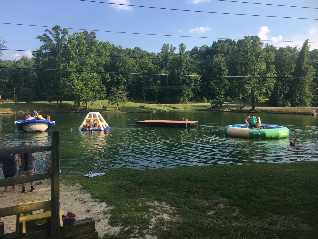
The KOA in West Virginia was pretty nice. It had a small lake that they turned into a small water park! We spent a lot of time climbing and jumping off the inflatable obstacles. As a side note, as a kid I don’t remember water hurting so much when flopping my experimental aerial maneuvers, but I rang my own bell a few times and woke up more sore than I care to admit.
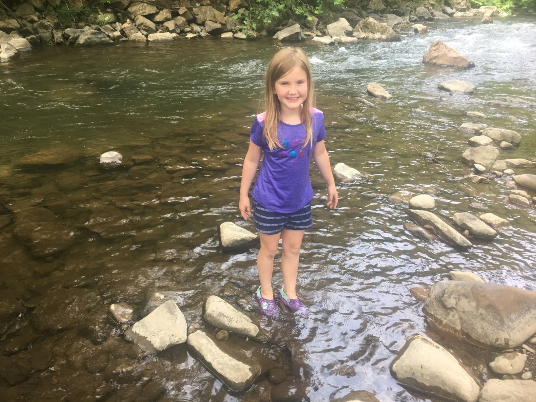
We spent our West Virginia days exploring the mountains and river areas that run through the two cities. We drove about an hour northeast of Charleston to a small town called Elkview and intentionally got lost. I don’t know why, but I find it fun to pick a destination that looks interesting from Google maps satellite view and pick the middle of that town as our destination. At a time of my own choosing I blatantly defy the guidance directions and do my own thing while technology scrambles to save me. Its probably the years I’ve spent trying to debug software and figure out what its doing that makes me enjoy watching it scramble to figure out what I’m doing!
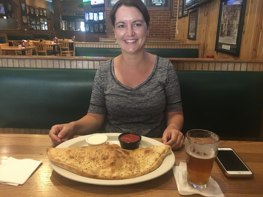
After exploring by truck for a while, we headed back to the RV and relaxed for a while. We drove to a Texas Roadhouse of all places. Nothing to do with West Virginia, but we were hungry and we love Texas Roadhouse. It was everything we wanted! Next we hit the Walmart for groceries and spent the rest of the stay swimming or watching homesteader YouTube channels and Netflix.
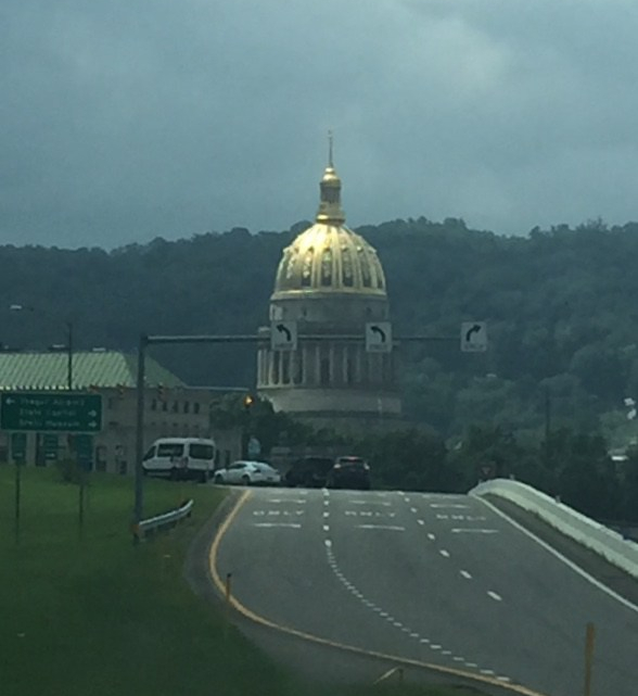
After Charleston, we turned south and headed down to Roanoke, Virginia. Kristen and I have had Roanoke on our hit list for a while since the Appalachian Trail runs right by it and it has one of the most iconic highlights: McAfee Knob. Its a section of mountain side at the peak that has rock overhangs and amazing views. We booked two nights at a cool RV park called Dixie Caverns. It had strong wifi and was close to town for a decent rate. We took some walks around the campground and drove into Roanoke for dinner at a cool diner by the local college.
The next day, Kristen and I decided to do the roughly 8 mile round trip day hike up to McAfee Knob. Evelyn wasn’t interested in this at all and since we had wifi and were at a safe spot, agreed that she could stay in the RV and relax (she was practically begging us to stay behind and have some alone time, which we definitely understand).
Getting back on the AT is always a special experience for Kristen and I. We plan to through-hike the trail from Georgia to Maine sometime after Evelyn leaves the nest. We’ve been following AT through-hikers on YouTube for a few years and we’ve done our own very small 3 day 25 mile section hike which really got us passionate about it. Also, we’ve been up to the southern terminus at Springer Mountain and stayed at the Hike Inn in the woods a few miles away this past new years eve. Great experience, but not for this blog!
Anyway, we parked at the day hike trail head area and saw an ambulance and an abundance of Roanoke fire rescue crews with off road vehicles and the works. I tried to overhear on their radios what was happening but only heard “Attention all Roanoke fire rescue personnel, the team as made it to the summit.” I was curious, but I didn’t feel like being that guy who asks what happened. I imagined a few scenarios or sprained ankles or minor cardiac events, but quickly gave up imagining as we started the climb.

The trail was a good mix of everything, smooth flat wide sections, narrow deep woods curvy, sections that are just stairs made of timbers, and narrow sections of boulders that only vaguely resemble a trail at all. The climb wasn’t bad at all, especially since we weren’t carrying our hiking packs and overnight supplies. The trail was mostly very shady as well and the occasional breeze cooled things down nicely.

After an hour or so on the way up, we passed an AT shelter and had to stop and look. We spent a night in an AT shelter on our previous 25 mile hike and they’re always very interesting to us. Lots of interesting graffiti from previous through-hikers and some are even dedicated to remember hikers. This shelter was no exception. We passed the Johns Spring shelter and took a few minutes to read the memorial.


The rest of the hike to the top was very enjoyable, we passed some friendly people and got passed by friendlier people. As a matter of fact, on two occasions we passed male hikers by themselves. This will make more sense later in the blog, but bear with me for now. The first man we passed was stopped on the side of the trail and seemed to be around 60 years old and wore a red t-shirt. I smelled the cigarette smoke before I actually saw him, but he politely attempted to clear the smoke and put his almost finished cigarette out on the other side of the tree that he was heavily relying on for support. We said our polite “hello” and “good morning” as we passed and he muttered an attempt at a polite response but he seemed to be too gassed from the climb to put any words together. Later in the climb, we passed another man in a green shirt with a small day hike pack on. He heard us coming a while back and had stopped off to the side to let us pass. He was covered in sweat and seemed to be struggling as well, but that’s nothing weird on hiking trails. Everyone goes at their own pace for their own purposes. Some almost run like they’re climbing stairs in a stadium and some take peaceful strolls and stop to look at every flowed and tree. Kristen and I were on the peaceful stroll side of the spectrum so the rest of the trip was nice and peaceful. There were a few views through trees towards the top and then finally we reached McAfee Knob! There were groups of hikers lossely scattered at the top eating lunches, snacks, or otherwise relaxing.


We knew the rocks cantilevered over the cliffs, but honestly this picture makes it look a lot scarier than it is. Either that, or being on the top makes it seem way safer than it really is. It really is just that piece of rock hanging over a seemingly endless fall, but somehow sitting down makes everything ok? Sorry Mom!

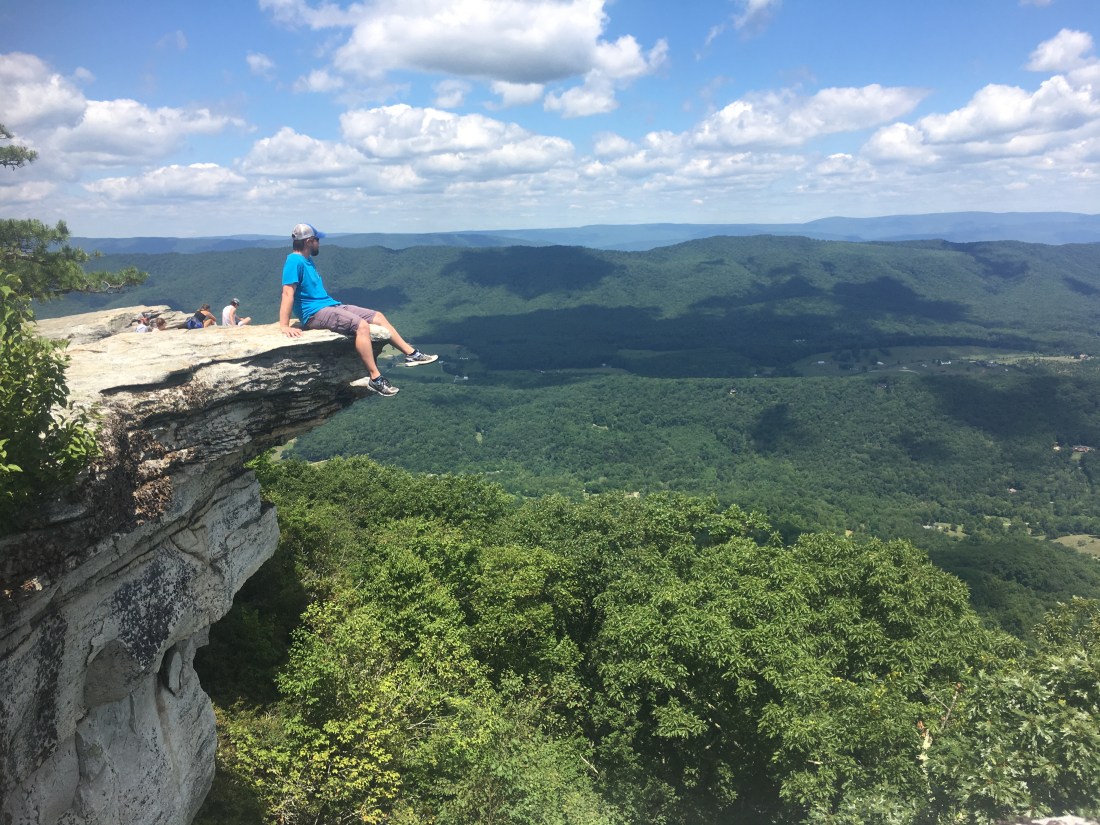
While on the top, we heard this annoying loud buzzing sound. We could tell other people were slightly annoyed by it as well and we heard someone way it was a drone. While exploring the top of the peak, Kristen and I walked around some of the edge and we realized that it would be very easy to fall off this rock. I wouldn’t say it was dangerous, but it required paying attention to what you were doing. We rounded a corner and we heard this weird group of people poorly singing some song with no music. Around one more edge and we came up right behind a line of firefighters singing and dancing on the edge, facing a camera drone off the edge. They must be doing some music video for some firefighter competition or commercial or some sorts because the only lyrics I heard were “We’re saving lives everyday” or something along those lines repeated over and over. I’m pretty sure Kristen and I were in the drone shot, so they probably had to do another take after we crashed the music video. We’ll check later and see if the Roanoke fire rescue goes viral, maybe we’ll be extras!
The climb down was much easier and faster than the way up. We passed both the green shirt and red shirt man on our way down and their appearance was as expected. A bit more exhausted than the last time we saw them, but that’s all to be expected since they had been continuing to climb the trail.
Shortly after we got back to the RV, Kristen was stunned by something she saw on her phone. The news said a man about 60 years old had fallen off the knob and fell about 100 feet. He was alive but in really critical condition. Since nobody could have made it to the summit by the time we got off the trail and we didn’t pass any other candidates, it had to be one of those two. I’m guessing the smoker in the red shirt, but I don’t know if we’ll ever know. Creepy. Also quite ironic since half the Roanoke county fire rescue team was on the summit an hour before that and we saw them all ride their off road vehicles down the fire road to the parking lot and leave about the same time we drove away. Kristen and I were laughing how we thought someone was in trouble on the trail or at the knob, but the rescue workers had just been shooting a music video.
After Roanoke, we wanted to loosely follow the AT back down south. I found a cool state park in Tennessee just outside Johnson City that was walking distance to the AT. The only problem was the reservation would leave us with a one day gap between Roanoke and Tennessee. A blessing in disquise, I found a one night spot in Damascas, Virginia! The AT goes right through this small town, and passed just on the other side of the creek from us.

We spend the day walking along the AT while Evelyn rode her bike. This was hiking luxury and was quite weird to be on the AT and on a sidewalk at the same time, but a very cool experience. We followed the AT sidewalk outside Damascus a while until it turned across the street and started up a mountain! So long, AT.

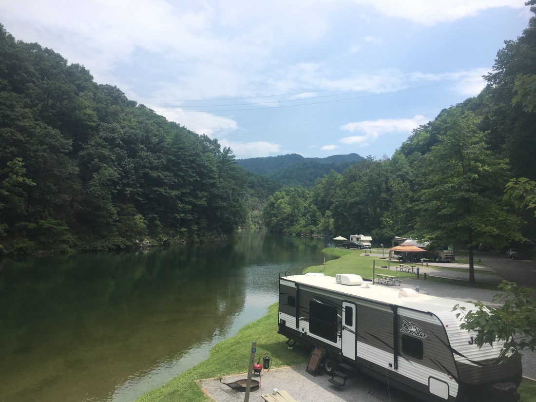
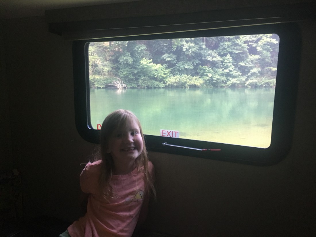
After our one peaceful day in Damascus, we drove south into Tennessee to our next spot at the Watauga Dam Campground. This campground has zero cell service, but we traded that for the beauty and peacefulness. I think this was my favorite campground yet. A few widely spaced back-in spots along a river with a huge steep mountain wall on both sides.

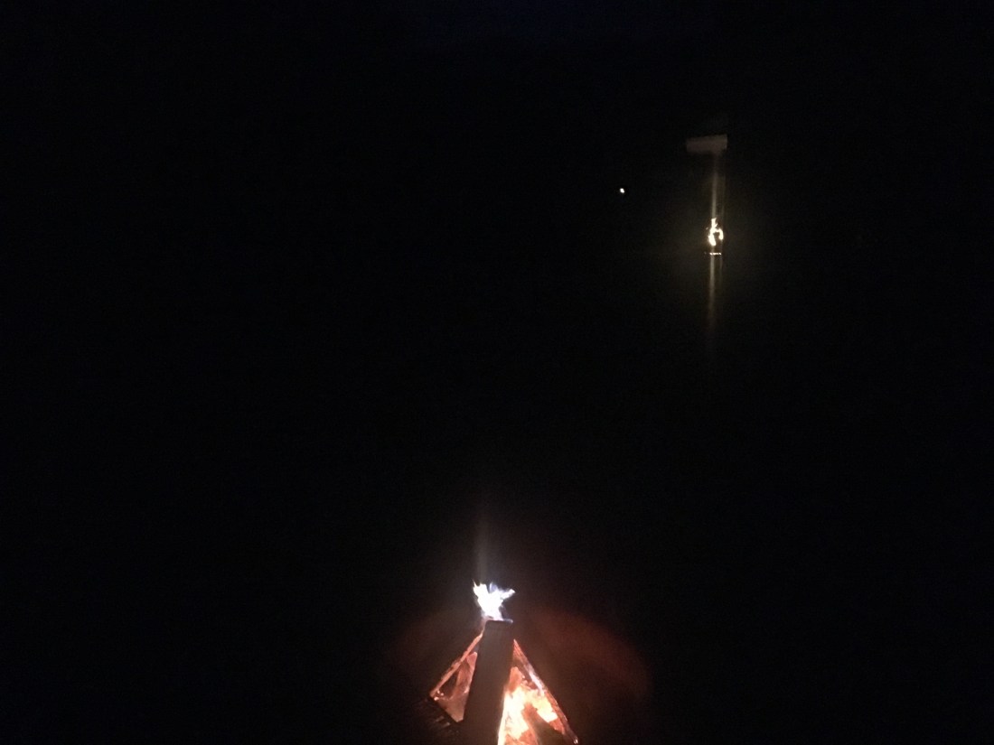
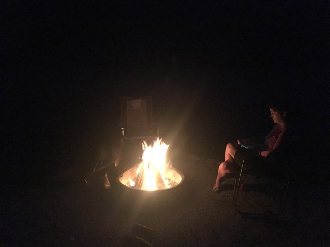
We stayed a few nights here and had a great time. Every night people lit campfires in their spots and it reminded me of Christmas Eve bonfires along the Mississippi river in Louisiana to light the way for Papa Noel (Santa).
The place was also pretty interesting because the dam would open and close and the river would go from very calm to rushing and back in a matter of minutes.
The visibility also fluctuated rapidly and we were hit with sporadic changes of pouring rain and clear skies. Fog came and went like smoke drifting across a stage. Evelyn referred to the fog as “dead clouds” and Kristen and I laughed until our sides hurt when Evelyn wasn’t in earshot. Its so funny the way kids see things and I hope we never forget this time together and all the little detail memories that mean the most.

A foursome of ducks swam up the river one day. We had two extra hot dog buns that we’ve been carrying around for a few states so Evelyn fed the ducks. for the rest of our stay, if these ducks saw her they would fly down and land at her feet. I enjoyed watching these ducks fly down the river on their approach. They’d do a full 90 degree turn on final in formation and glide down until they flared and hit the water. Such grace, skill, and beauty. Not to corrupt these ducks, we didn’t feed them any more, although they seem to have the campground figured out as we saw them do a similar aerial display for other campers.
Between the lack of cell connection, sporadic rain, and our campfires we spent the time reading books and visiting the nearby AT crossing. One night Kristen and Evelyn decided to have a makeup party and surprised me with this:

We left the Watauga Dam campground this morning and here we are in Asheville, thanks for reading! Later!

